world map, logo, africa map PNG images for editing
This map of Africa, divided into its regions, could be used in a variety of situations: * **Educational settings:** In geography lessons to teach about the continent’s regional divisions, their characteristics (climate, culture, etc.), and political boundaries. It could also support lessons on African history, economics, or current events. * **Presentations and reports:** To visually represent data related to Africa, such as economic performance, disease prevalence, or population distribution across different regions. * **Travel planning:** To show different travel destinations and regions of interest for tourists. * **Business contexts:** To illustrate market segmentation, identify target audiences for specific products or services, or to visualize investment opportunities across various African regions. * **Political analysis:** To highlight political alliances, conflicts, or electoral results within and across the different regions of the continent.![]()
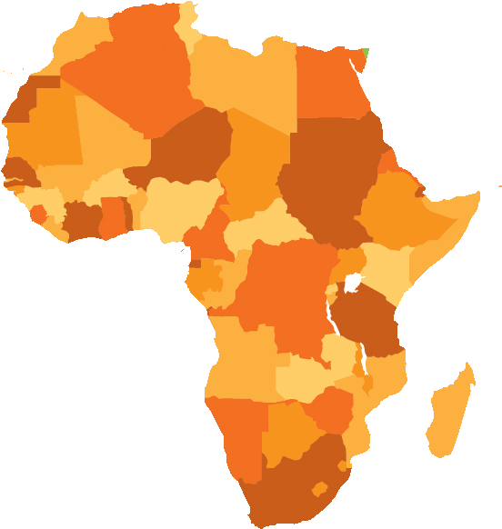
The image shows a map of Africa , divided into its regions.
Map Of Africa – Africa Map Vector Png is a totally free PNG image with transparent background and its resolution is 560×593.
| Image type | PNG |
|---|---|
| Resolution | 560x593 |
| Name | world map, logo, africa map PNG images for editing |
| License | Personal Use |
| Size | 84 KB |
| Views | 358 |
| Downloads | 338 |
| Published | October 4, 2025 |
